|
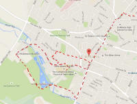
St Albans map |

Blacksmith's Arms |
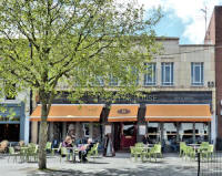
Beech House Restaurant |
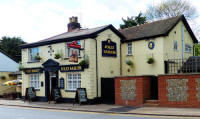
The Jolly Sailor |
|
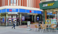
Metro or Subway?? |
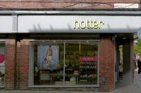
Hotter Shoes, Spenser
Street |
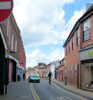
Spenser Street |
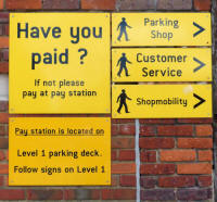
Drovers Way Multi-story Car Park |
|
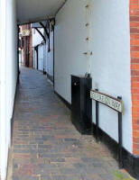
Sovereign Way |

Fleur de Lys in French
Row |

The White Swan |
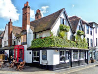
The Boot |
|

Dagnal Street |

Temperance Street |
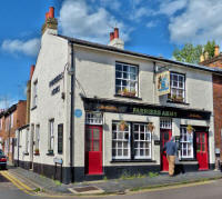
Farriers' Arms |
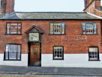
It was The Vine a pub on and off 1569
-1932. |
|
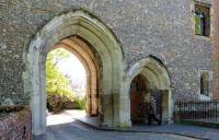
Abbey Gateway |
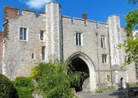
Abbey Gateway |
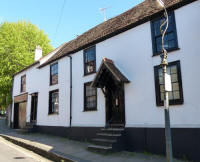
Fishpool Street |
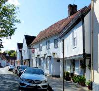
Lower Red Lion |
|

Door in the Abbey Gate |

Six Bells |

Rose and Crown |
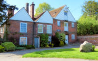
Kingsbury Mill and the Pudding Stone |
|

Southend Cottages, Fishpool Street |
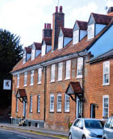
Was the Black Lion pub |
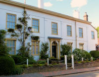
A grand St Michaels House |
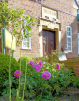
Original Verulam Museum Building |
|
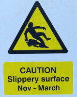
Arctic Conditions in
the Car Park |
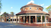
The Verulam Museum |

Verulam Park |
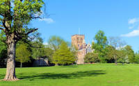
A glimpse of the
Cathedral |
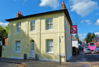
Was the Duke of Marlborough pub |

Day's Yard and its
memorial... |

Street War Memorial |
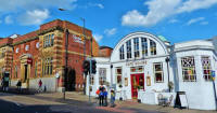
Was Riders Seed Hall, then Post Office
Parcels Depot now privatized |
|
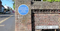
Blue Plaque re Sarah Churchill |
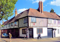
Was a Medieval Hospice |

Wax House Gate |
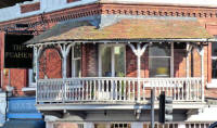
Peahen Balcony |
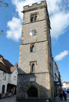
The Clock Tower |
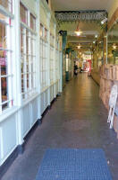
"Village Arcade" |

Was the Public Library donated by
Carnegie |
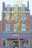
Costa Coffee |
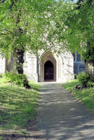
St Peters North Door |
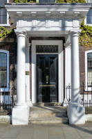
NFU Mutual doorway |
Blue Door |
Devdas (ex The Cricketers) |

